
Georgetown, Guyana: Disaster Risk and Climate Change Vulnerability AssessmenT
|
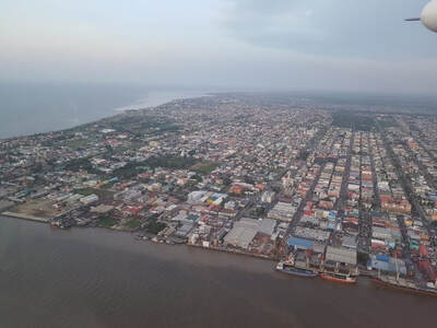
SPL (working with Vivid Economics) undertook the Disaster Risk and Climate Vulnerability Assessment (DRCVA) for the capital city of Guyana – Georgetown and its surrounding area. The study was one of a series of baseline studies for Georgetown, forming part of the Inter-American Development Bank’s (IDB) Emerging and Sustainable Cities Initiative. The studies have been developed under the IDB’s technical cooperation agreement with Guyana’s Central Housing and Planning Authority, titled “Climate Resilience Support for the Adequate Housing and Urban Accessibility Program in Georgetown, Guyana” (GY-T1137). The DRCVA takes account of climate and land use change as well as alternative adaptation approaches
|
|
key messages
Today, the expected annual damage from flooding across the wider Georgetown area is around GYD 1.3 billion (USD 6 million) with a further GYD 0.625 billion (USD 3 million) of disruption and repair to critical infrastructure; this equates to approximately 1% of economic activity. The expected annual (average) number of people exposed to flooding exceeding 0.5m is around 10,200. Forty-six critical infrastructure sites (including hospitals, bus station, health clinics, fire stations, hospital, military barracks, police station, school and both airports) experience flooding during major storms (exceeding a 1in100 year return period).
Assuming a business as usual adaptation approach, the expected annual damage from flooding is projected to reach between USD 10-12 million by 2040s in response to climate change and projected urban growth. The expected annual number of people exposed to flooding is also likely to increase significantly. The “Business as Usual” approach therefore is not a viable DRCVA option for Georgetown and a more ambitious adaptation strategy is required.
● Clear and decisive action now could dramatically reduce economic damages from flooding and improve Georgetown’s resilience.
This will be most effective if it includes:
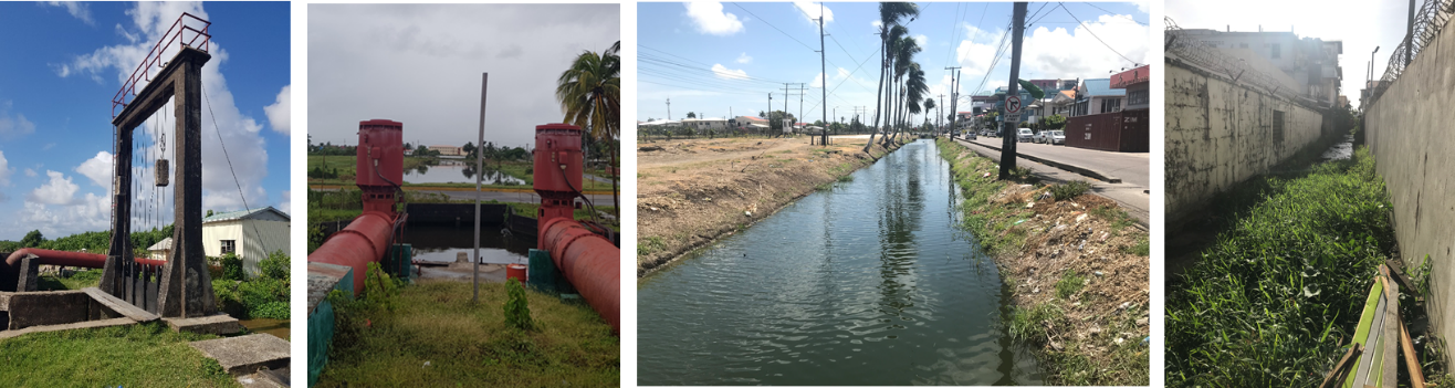
spatial planning and building regulation that embrace flood risk management related issues
realign the coast and maintain green space where possible to make space for a natural response to sea level rise and surface water by adopting a ‘living with water’ approach.
selectively implement hard measures to hold the line by constructing and rehabilitation of hard sea and flood defences such as sea walls and embankments where necessary.
promote a ‘naturally resilient coastline’ with soft measures (ecosystem-based adaptation) to restore and expand mangroves and sediment management.
strategic management of land drainage, through improved channel management and rehabilitation/replacement of control structure and pumps
Given a feasible or smart adaptation approach future risks are much lower (Figure A), with a projected 2040s Expected Annual Damage (EAD) of USD 5.5-6.5 million and USD 3-4 million respectively. Figure A (source SPL) demonstrates the changing flood risks under a business as usual, feasible and smart adaptation scenarios through the 2030s and 2050s.
.